Constituency Geography: Panchayats & Municipality
The constituency includes:
Attingal Municipality
Cherunniyoor, Karavaram, Kilimanoor, Manamboor, Nagaroor, Ottoor, Pazhayakunnummel, Pulimath, and Vakkom gram panchayats in Chirayinkeezhu Taluk.
Covering an area of roughly 186 km², Attingal blends urban, coastal, and agrarian zones.
Geographic & Demographic Peculiarities
Attingal town is a historic node — home to the Attingal Palace, interpersonal with the early Anchuthengu riot and Travancore royal lore. Vakkom panchayat borders backwaters and Malayali kayals, shaping a blue-economy landscape alongside fishing clusters.
SC communities make up ~12.8% of the electorate with female voters outnumbering males in 2021 (109,660 females vs. 92,461 males). The district’s literacy rate hovers around 93%, and overall density includes both municipal and rural populations.
Economy & Livelihoods
Economic activity in Attingal is multifaceted:
Traditional Coir Sector: Especially in Cherunniyoor and Vakkom, where coir-making is still active.
Agriculture: Paddy, coconut, and small-scale cultivation in Kilimanoor and nearby panchayats.
Blue Economy: Coastal fishing and aquaculture in Vakkom and Pulimath areas.
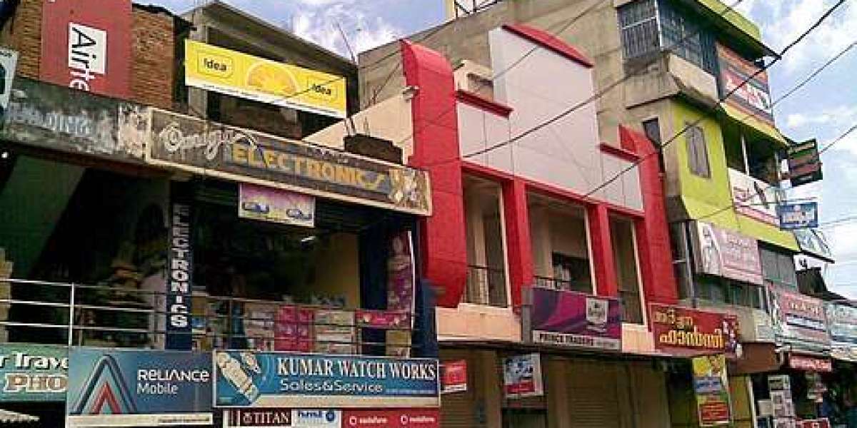
Bespoke Trade & Small Business: Shops, markets, and services in Attingal town.
Remittances: NRI income plays a crucial role in household budgets across panchayats.
Also, tourism around Attingal Palace and nearby beaches contributes modestly to incomes.
Economic Strata: Where the Demography Stands
The majority belong to the middle-class segment, supported by combination of farming, remittances, and trade.
A smaller upper-income cohort includes business families and successful NRI households.
A modest number — especially fisherfolk and landless agricultural laborers — remain below the poverty line (BPL).
? Recent Development Highlights
The District Development Committee meeting in late July 2025 focused on key projects in Attingal, including:
Speedy repair of five damaged school buildings
Review of the Kadalakkani tourism project
Road restoration post-natural calamities
Enhancements to local water supply and market spaces
Coastal protection works in vulnerable zones
Separately, water resource attention is on:
Six check-dams on the Vamanapuram River to alleviate seasonal water shortages impacting Attingal and neighbouring Varkala.
Transport infrastructure also sees upgrades in the broader Lok Sabha constituency, including rail station renovations at nearby stations like Kilimanoor—boosting connectivity for local trade and mobility.
Conclusion
Attingal Assembly Constituency merges deep historical roots with rural and urban livelihoods sustained through agriculture, fishing, coir, trade, and NRI remittances. Predominantly middle-class, with some upper-income and minimal BPL households, the region benefits from concerted development initiatives in education, coastal resilience, infrastructure restoration, and water security. These efforts point toward inclusive growth tailored to Attingal’s unique social and economic fabric.