Polling Stations
While exact booth names vary, the constituency comprises 60–70 polling stations, many subdivided into multiple wings to serve both river-valley and rural hamlets. Typical booths are located in government LP/UP schools and community halls across villages like Kuttiady town, Velom, Purameri and Ayancheri panchayats. Centers such as Kuttiady Grama Panchayat Hall, Purameri LP School, Maniyur UP School, Thiruvallur LP School, and Villiappally High School divide voter wings by neighborhood side and help ensure covered access across terrain.
Geographic & Demographic Traits
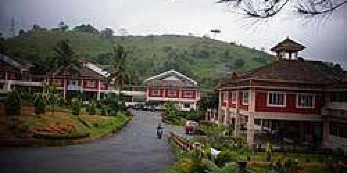
Kuttiady lies on the slopes of the Western Ghats, with the Kuttiady River valley flowing through its center. The terrain transitions from alluvial agricultural lowlands in the west to hillock fringes in the east. Kuttiady town serves as a crossroads connecting the airport, Wayanad, and coastal Kozhikode via state highways. The constituency’s population combines rural households, small-market towns, and high literacy rates typical of northern Kerala.
Economic & Livelihood Profile
Agriculture & Plantation Crops: The region’s rural zones cultivate coconut, areca nut, pepper, banana, and other cash crops along the riverplain.
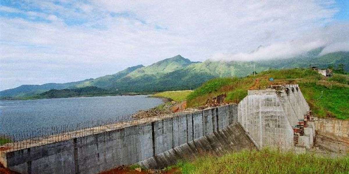
Hydropower & small-scale trade: The ONLY hydroelectric station in Malabar, located on the Kuttiady River, employs local technical workers and supports irrigation.
Remittances (NRIs): Gulf migration remains a key income source for many families.
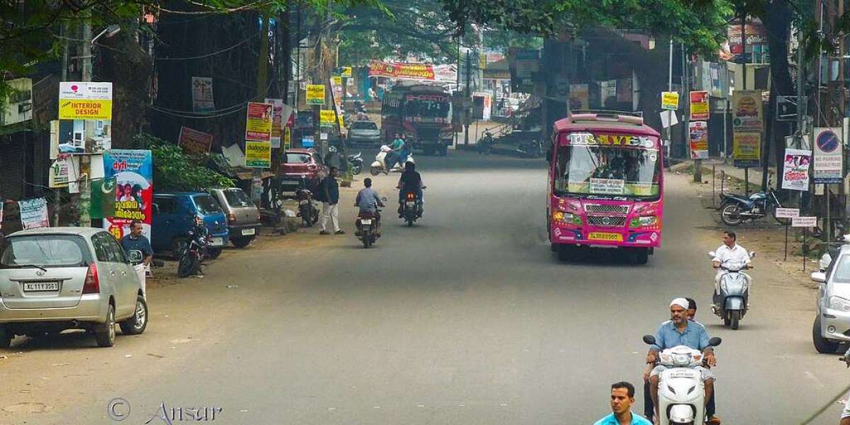
Trade & small businesses: Kuttiady town is dotted with retail shops, spice shops, timber and coconut trade, shelling units, and transport services. Its strategic junction connects interior and coastal markets.
Education & services: Government offices, primary schools, teacher education facilities, and local businesses generate rural employment, though fisheries are minimal due to inland geography.
Socio-Economic Strata
The bulk of residents fall into the middle-income bracket, supported by a mix of remittance inflows, plantation farming, and rural commerce. A few landowners, hydropower staff, and established traders represent the higher-income tier. Some households—especially smallhold farmers or wage laborers in fringe hill areas—remain below the poverty line, though increasing literacy and civic welfare schemes have improved living conditions.
Recent Development Activity
Recent political stewardship has prioritized rural infrastructure and agriculture uplift:
Road improvements connecting Kuttiady–Ayancheri–Kunnummal and Kuttiady–Purameri corridors ease access to markets and Iritty/Wayanad transit.
Maintenance of the Kuttiady hydel facility and support for local irrigation and agri-extension services have enhanced farm productivity.
Expansion of school infrastructure and polling-station readiness in rural hamlets has strengthened civic participation.
Local government initiatives support spice farmers (pepper, banana) and small transport operators, while digital literacy camps reach interior villages.
Efforts to integrate villages into tourism circuits—through eco-paths and homestays tied to Ghats escarpments—are emerging.
Kuttiady Assembly Constituency blends hillside serenity, agricultural valleys, and a junction-town economy fed by plantation farming, hydropower, NRI remittances, and small enterprise. With a predominantly middle-income demographic and growing rural infrastructure, enhanced education and road networks, it is poised for inclusive growth rooted in land, trade, and local resilience.