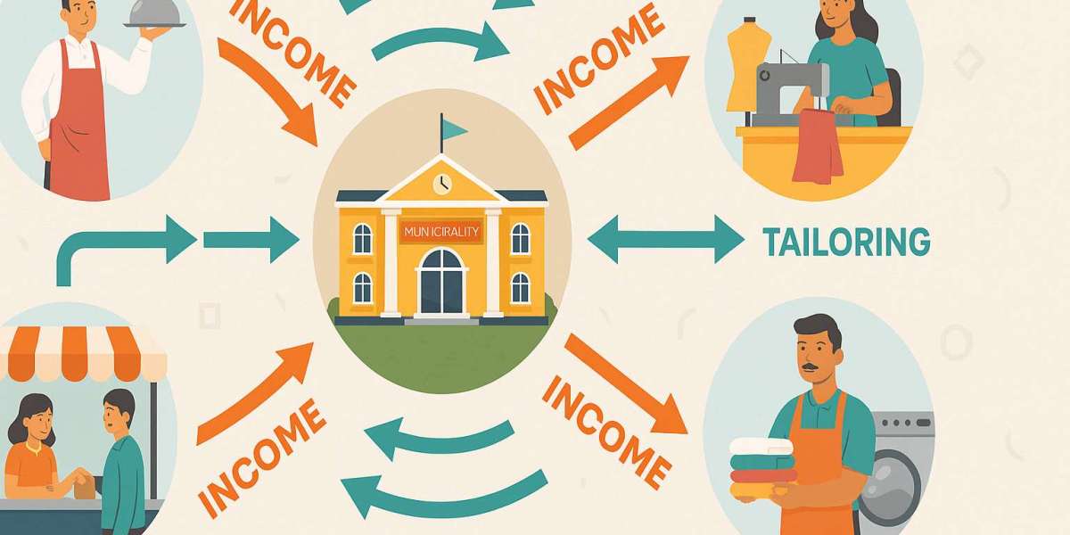
1. Detect Local Business Gaps
By mining location-based data—like foot traffic from mobile phones, social media check‑ins, or local search patterns—platforms can identify under‑served areas and business opportunity zones.
- Geo‑spotting research has successfully pinpointed optimal retail spots by analyzing dynamics like nearby venues and user mobility patterns using machine‑learning models arXiv+3MDPI+3UpGrad+3arXiv.
- Reality mining via aggregated mobile/GPS data reveals how populations move, shop, and live—rich material for understanding where businesses are needed .
2. Map Land‑Use in Real Time
Rather than wait for slow government surveys, data systems can infer land use from dynamic signals.
- Studies show land usage (residential vs commercial) can be accurately predicted using mobile-phone activity and clustering algorithms arXiv.
- When combined with GIS (geographic information systems), WeOne could overlay business gaps, waste hotspots, and population usage trends onto precise maps Wikipedia.
3. Understand Skilled vs Unskilled Demographics
Traditional censuses are infrequent and coarse. Modern analytics use indirect digital signals to infer workforce profiles:
- Large lifestyle-segmentation systems (like Manifold Data) integrate thousands of variables—demographic, spending habits, media usage—to build granular local profiles MDPIWikipedia.
- WeOne could synthesize member-provided data (e.g., professions, training history) with anonymized platform usage to map ward-level skill distributions.
4. Measure Daily Household Waste Volumes
While exact household-level waste measurement may be sensitive, aggregated daily data is feasible using:
- IoT-enabled smart bins with ultrasonic/capacitive sensors, integrated with AI/ML for fill-level detection and collection routing optimization ProQuest+2UpGrad+2Scribd+2.
- Remote sensing technologies and GIS-equipped sampling (e.g., the UN Waste Wise Cities Tool) help estimate municipal waste daily with geographic precision Scribd+9unhabitat.org+9catalog.data.gov+9.
5. Integrating It All: The Digital Twin Approach
Cities like Amsterdam, LA, Palermo deploy digital twins—real-time virtual models combining all these data streams (land use, demographics, waste, mobility)—enabling precise simulations, analytic insights, even predictive planning .
✅ Bringing It Back to WeOne
Yes—with a well-designed, consent-based platform, WeOne can integrate:
- Mobile–IoT Data: Smart bins, GPS-pattern mining, sensors.
- Citizen Reports: Wards’ members tag skills, complaints, infrastructure issues.
- GIS‑Multi‑Layer Analysis: Map business deserts, skilled population centers, waste hotspots.
- Machine Learning Insights: Uncover patterns with real-time algorithms (KNN, ML classifiers) across layered datasets dataforpublicgood.org.in.
Caveats & Enablers
- Privacy & Data Governance: Consent, anonymization, and clear local-first data-sharing protocols (e.g., participatory monitoring frameworks) are essential .
- Technical Investment: Requires sensors, analytics capabilities, and GIS infrastructure—but many open-source and low-cost tools exist (e.g., ODK, QGIS).
- Community Engagement: Local admins can collect daily inputs, facilitate deployment of sensors, and democratize analysis.
The Bottom Line
Yes—modern data-mining, IoT, and GIS can indeed extract daily household waste in kilograms, identify workforce skill profiles, model ward-level land use, and uncover business opportunity gaps—all within a hyperlocal structure like WeOne. With proper privacy and community involvement, this isn’t science fiction—it’s a practical roadmap to empower data-driven microenterprise planning at the ward level.
Let me know if you'd like a technical checklist, tool suggestions, or a phased pilot plan to make it happen!