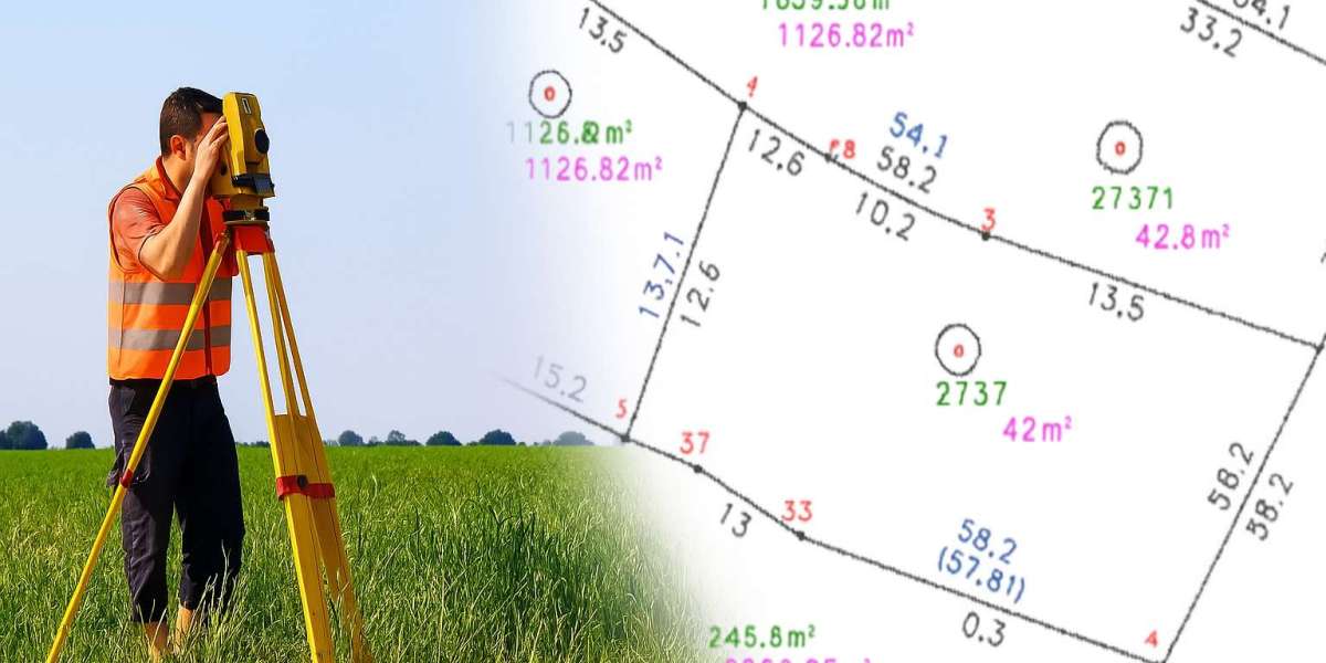
The Survey Department of Kerala plays a crucial role in land management, boundary demarcation, and property records, functions that are foundational to governance, development, and dispute resolution. With the implementation of weone, a hyperlocal citizen-government engagement platform, the Survey Department stands to gain significant operational efficiency, public trust, and participatory support.
weone bridges the gap between citizens, local self-government institutions (LSGIs), and government departments, allowing seamless flow of information at the ward level. When it comes to land-related services, like resurvey notifications, title verifications, and boundary corrections, citizens often struggle with awareness and access. WeOne changes this by making Survey Department activities visible, accessible, and participatory. Residents receive real-time updates on survey schedules and progress, and can report inconsistencies or grievances directly to their elected ward representative, who moderates WeOne at the local level.
This citizen-centric model leads to faster resolution of land disputes, as people are more likely to trust a process that is transparent and locally anchored. Furthermore, with public feedback loops, the Survey Department can receive alerts on encroachments, unregistered developments, or delays in demarcation, helping field staff prioritize and act efficiently.
weone also fosters collaboration between the Survey Department and engineering departments, revenue officials, and local bodies during infrastructure planning. Geo-tagged local maps, shared with the community, improve spatial clarity, and ensure that local development aligns with authentic land records.
Ultimately, weone empowers the Survey Department not only as a technical agency but also as a community-facing institution, trusted and supported by the people it serves. With informed citizen participation and coordinated local governance, Kerala’s land administration becomes more precise, conflict-free, and development-friendly.


